PRIVATE TOUR - CANYON TREKKING (HIKING/TREKKING) BUCARAMANGA
City: Bucaramanga (Colombia) Latitude: -73.11865 Longitude:-73.11865 Id: 90384 -S:1037
")
")
")
8Hours
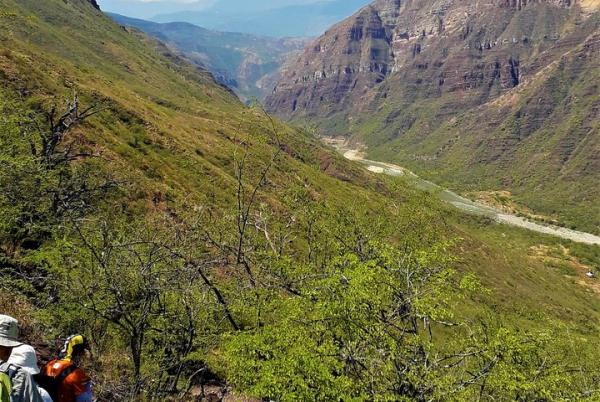
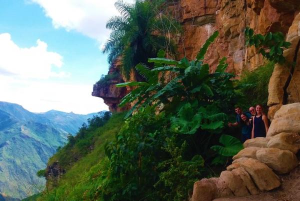
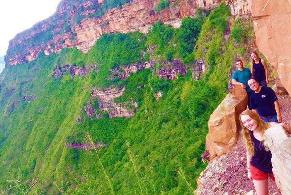
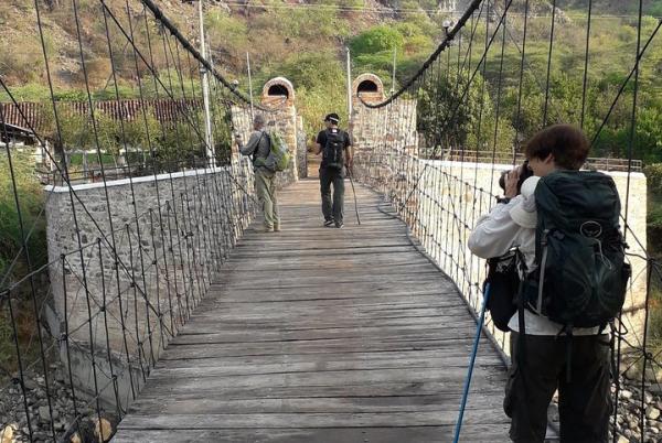
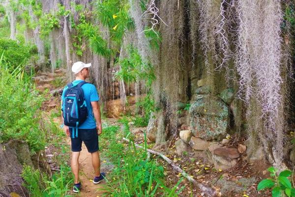
The Chicamocha Canyon is the perfect place to do hiking since you will have stunning views onto the landscape during the entire hike. The hike usually starts in a sector of the canyon called “La Mojarra”. At the beginning of the hike you will be at the edge of the canyon at a height of about 1500 meters above sea level and 1000 meters above the canyon river.
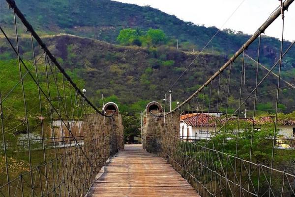
The hike, which is included in this day trip, ends in Los Santos, a town with a beautiful central park located at the edge of the canyon. Starting a steep hike down the canyon for about 300 meters in altitude you will gradually go up along the canyon in order to arrive at Los Santos. The advantage of this hike is that you will not have to stand the heat at the bottom of the canyon since you won´t go down all the way to the river. The total hike takes you about 2 to 5 hours depending on your speed and on the trail you take.
*One per booking
Child : from 3 to 12 : from 0 to 0 Persons
Adult : from 13 to 17 : from 0 to 0 Persons
Adult : from 18 to 59 : from 1 to 12 Persons
Adult : from 60 to 80 : from 0 to 0 Persons
All sales are final. No refund is available for cancellations.
Check Availability
Additional Information
- Service animals allowed
- Public transportation options are available nearby
- Infants are required to sit on an adult’s lap
- Specialized infant seats are available
- Not recommended for pregnant travelers
- Not recommended for travelers with poor cardiovascular health
- Travelers should have at least a moderate level of physical fitness
Tickets
*Mobile or paper ticket accepted*One per booking
Prices
* Per PersonCancellation Policy

Contact Us
- +971566917141
- +97143887001
- Send a Message
You may also be interesed in in Bucaramanga


 t")
")


Featured attractions in Bucaramanga

Palonegro Airport
Palonegro Airport Virtual tour to Palonegro Airport Where you can serach for maps, photos, videos, distances, and other
Palonegro Airport Virtual tour to Palonegro Airport Where you can serach for maps, photos, videos, distances, and other
Receive our newsletter with the best offers!
 European euro
 Saudi riyal
 UAE dirham
 United States dollar
We are now looking for the best deals Bucaramanga

