HOTEL BERTASO Chapeco The andlt;bandgt;Hotel Bertasoandlt;/bandgt; won for the tenth consecutive year the award as most remembered Hotel in Santa C ... Save Up To 60%
ESTON HOTEL Chapeco Click here to see more details and book . You see photos, situation, room facilities, hotel installations, entertainment fac ... Save Up To 60%
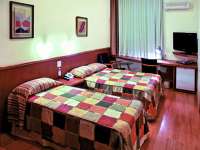
Hotel Lang Palace Chapeco Click here to see more details and book . You see photos, situation, room facilities, hotel installations, entertainment fac ... Save Up To 60%
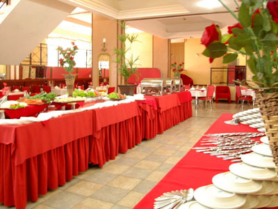
Bristol Multy Lang Palace Chapeco The andlt;bandgt;Bristol Multy Lang Palace Hotelandlt;/bandgt; stands out for its refinement, comfort, and facilities. You ar ... Save Up To 60%


 European euro
 Saudi riyal
 UAE dirham
 United States dollar